Swanage and Studland Bay Water Safety Partnership
Swanage and Studland Bay Water Safety Partnership
There have, for many years, been concerns about watercraft (especially personal watercraft/jet skis) at Studland and Swanage Bay. Water safety is an ongoing issue that requires a collaborative approach across a range of different organisations.
Project overview
Working collectively has enabled there to be a proactive approach to reducing the issues at both Swanage and Studland Bay. Organisations, representative partners and businesses included in this partnership approach are:
- Dorset Council
- National Trust
- Maritime & Coastguard Agency
- Marine Police
- Swanage Town Council
- Dorset Coast Forum
- Studland Parish Council
- RNLI
- Representatives from Jet Ski community
- Sea swimming representative
- Personal Watercraft Partnership
- Poole Harbour Commissioners
Please note the issue is not just around personal watercraft/jet skis but can be other maritime users as well. Also, it is often jet skis and other motorised watercraft coming from elsewhere that cause the issues.
Swanage Bay: the key issues
- Open water swimming – Swanage Bay has seen a growing interest in open water swimming with an increased number of people taking part and swimming along the bay. There is an ongoing issue that some personal watercraft (PWC) vehicles/jet skis are coming into the area too fast and putting swimmers at risk in the bay.
- Personal watercraft/jet skis often stop around the stone pier to go ashore for refreshments in the pub and then back out to sea. It is also not unusual to find PWC users on the beach (meeting friends) before returning to the water.
- The Parish slipway – is a free access point with what is thought to have historical access where cars reverse with jet skis/ small boats on a trailer. This area around the slipway and on the slip way itself is often very congested (especially in summer) with lots of people walking, sitting, crabbing in this area.
- Lack of signage – signs are missing or out of date.
- Noise from power boats and jet skis – this is an issue primarily at the north end of Swanage Bay due to the shape of the bay and the refraction from the cliff.
Studland Bay: the key issues
The National Trust own Studland Beaches (Knoll, Middle and South Beaches) up to low mean water.
Personal watercraft/jet skis are not allowed to launch anywhere at Studland. There are a few no boating zones that are for swimmers only (small yellow buoys from the shoreline) but not enough to accommodate all swimmers as realistically swimmers go in the water near to where they are sat. The key issues at Studland include:
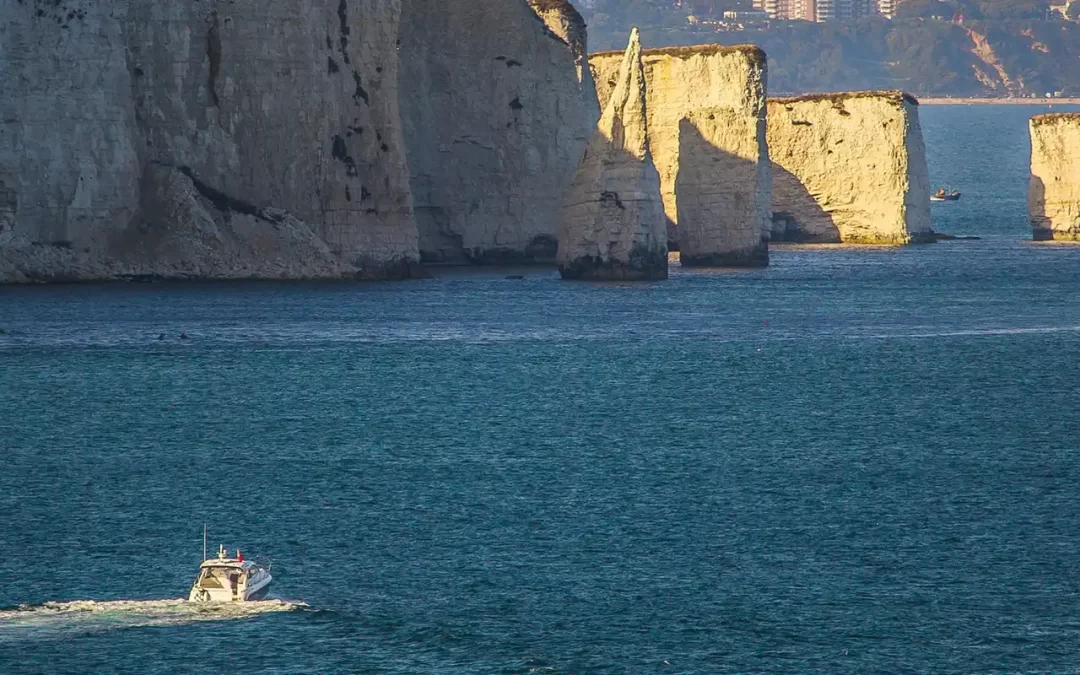
- South Beach is the main issue for jet skis with speeding vehicles going along the cliff towards Old Harry Rocks. There is a disregard for the bylaw (see below) and marker buoys by some.
- Noise is an issue mainly towards South Beach.
- The marker buoys too far apart for people to see.
- There are often large gaps along the beach due to access to the different beaches at Studland and this is thought to encourage boats/jet skis to speed as users assume in the gaps there is no risk to people. There is a different perspective from the beach as these gaps/quiet areas are often preferred by some visitors.
- Signage is poor and out of date.
The Bylaw – Seaside Pleasure Boats
The 1989 Seaside Pleasure Boat Byelaw (reviewed in 2013) is currently in operation. Originally a Purbeck District Council Bylaw, it is now the responsibility of Dorset Council. It is Dorset Council’s responsibility to issue a contract to deploy, lift and repair the 5 knot max speed marker buoys in these areas.
The Swanage Pier Byelaws 2012
The Swanage Pier Byelaws 2012 is still in place and refers to the Management of Vessels while entering, leaving or within the Harbour. The key section associated with this work includes:
The Master of every Vessel within the Harbour shall navigate that Vessel:
1.a) with care and caution and at a speed so as not to endanger the lives of, or cause injury to, persons, or endanger the safety of, or cause damage to, any other Vessel or any mooring or any other property of any kind whatsoever, whether real or personal.
Improvements now implemented by the partnership
- Standardised incident recording form and creation of a central database that is held by the Marine Police for all partners to directly report incidents.
- Regular patrols during the season – a contract with two waterfront residing businesses at both Studland and Swanage. They will be providing regular water safety patrols from Easter until mid-September, with increased patrols during school holidays. They will provide education and awareness to jet ski and small motorised boats or other sea users on safety.
- Signage at both Studland and Swanage with clear maps and information.
- Water safety leaflets for users of jet skis and small motorised boats – with clear key messages.
- A dedicated information webpage for jet skiers and motorised boat users wishing to visit the area.
- A communications plan to ensure that key messages are correctly distributed and are clear for all partners.
- Extra 5 knot max speed marker buoys – an increased number of buoys at both locations to ensure they are closer together making them easier and clearer to see.
- Two Marine Police Officers newly trained on jet ski riding to ensure they can communicate effectively with jet skiers in the area.
Contact

Dorset Coast Forum
dorset.coast@dorsetcouncil.gov.uk
01305 224833
Visit our water safety information page for personal water crafts
How you ride or drive is essential so that everyone has a great time and lives and wildlife are not put in danger.