BCP Cliff Management Guide

BCP Cliff Management Guide

BCP Cliff Management Guide

South West Flood and Coastal (hosted by BCP Council) are working to develop a Cliff Management Strategy for the coastal frontage from Chewton Bunny (Highcliffe) to Rockley (in Poole Harbour).

Project updates

Project overview

South West Flood and Coastal (hosted by BCP Council) are working to develop a Cliff Management Strategy for the coastal frontage from Chewton Bunny (Highcliffe) to Rockley (in Poole Harbour).

A key part of this wider strategy will be the creation of a Cliff Management Guide. The guide created will explain the various roles and responsibilities of those who live, work and enjoy the cliffs in the local area, explain what to do in the case of a landslide or cliff instability and inform the community on steps to mitigate erosion of the cliffs.

In the first instance we are asking local stakeholders, landowners, householders, residents and members of the community to get involved and tell us about your understanding of coastal erosion risk and instability along the BCP Coast.

Find out more about the project and get involved here >> BCP Cliff Management Guide

#CoastalInnovation #CoastalConnection

Who’s listening?

Elaine Snow

Elaine Snow

Dorset Coast Forum Project Officer

Chesil Cove Curved Seawall

Chesil Cove Curved Seawall

Chesil Cove Curved Seawall

    Dorset Council, working in collaboration with partners, are developing a proposal for the repair and update of Chesil Cove Curved Seawall.

    Project overview

    Chesil Cove is a curved bank forming the end of Chesil Beach. The Chesil Cove curved seawall was built in 1965 as a means to protect the toe of the steep bank known as West Weares. It was designed to deflect waves and prevent major slumping of the land above which previously had experienced ground slippage. Under the direction of the Shoreline Management Plan(External link), Chesil Cove comes under the “hold the line” approach meaning defences should be maintained or replaced where they already exist.

    The beach at Chesil Cove is popular with families who favour the shallow waters, divers who explore the many shipwrecks in the area and also with walkers who make use of the promenade above the wall. There are also many beach huts up above, dotted on the slope.

    There is consistent heavy wave attack along this area of coast but the wall also sustains damage from the following:

    • Coastal erosion
    • Beach loss
    • Foreshore lowering
    • Structure undermining

    Some repairs were undertaken on the wall in 2011 but these have now been undermined and the sea is causing rotational movement at the southern end, threatening it further.

    If no action was taken at the site and the ground started to slump again, the main A354 road would be at risk as well as coastal paths, homes, chalets and utilities. Various studies have taken place to identify that urgent action is needed.


    Visit the project page for more information >> Chesil Cove Curved Seawall 

    Who’s listening?

    Matthew Smith

    Matthew Smith

    Project Officer, Dorset Coast Forum

    Future Studland

    Future Studland

    Future Studland

    The National Trust and Dorset Coast Forum are working in partnership to build a long-term plan for the Studland area.

    Project overview

    The Future Studland plan will look ahead for the next 20 to 50 years. A key area it will explore is the balance between the area being a hugely popular place for people, as well as a nationally important wildlife habitat. It will also encompass travel and transport options, accessibility and the infrastructure in the area. We want to know how people are using the spaces now and what they would like to see in Studland for years to come.

    A plan of this kind ensures that all local stakeholders have some guidance when making decisions.

    Why is this needed?

    Studland is a wild and natural peninsula and is the eastern gateway to the Isle of Purbeck as well as the Jurassic Coast World Heritage Site. It has a wide range of landscapes, habitats, land uses, buildings, heritage features, commercial centres and residential areas. It is a popular tourist destination, attracting over 1 million visitors, per year as well as being home for many residents and businesses. The scope of this project will cover all the of the Studland Peninsula from Shell Bay to Old Harry Rocks and encompasses the beaches, roads, services and habitats as well as the village itself.

    Like many other areas of the UK, Studland is impacted by rapid coastal change. In the last two winters alone, major storm action has put huge pressure on the coastline, moving large swathes of beaches and edging closer to important infrastructure. Coastal erosion has been taking place for thousands of years but coupled with rising sea levels, some of the main facilities at Studland will be lost over the next 20-50 years and the local shoreline management plan suggests no active intervention should take place to prevent this. You can find out more about managing the coastline from the Shoreline Management Plan(External link) and the National Trust publication Shifting Shores(External link).

    The National Trust have identified four key themes for the plan:

    • Wild identity
    • Infrastructure
    • Travel and access
    • Visitor Distribution and communications

    Dorset Coast Forum are asking the community, stakeholders and visitors what they think should be included on the Future Studland Plan. This will take place through a series of engagement events, drop ins and activities as well as the tools on this site and questions will be asked around the themes.

    Thank you to everyone who took part and completed the Future Studland survey, attended an event or chatted to us on the beach. The survey closed on the 30th September 2024 and survey responses and views have been passed to the National Trust to develop a Future Studland Plan.

    #CoastalConnection  #CoastalInnovation 

    Who’s listening?

    Elaine Snow

    Elaine Snow

    Dorset Coast Forum Project Officer

    Future Studland - Join the Conversation!

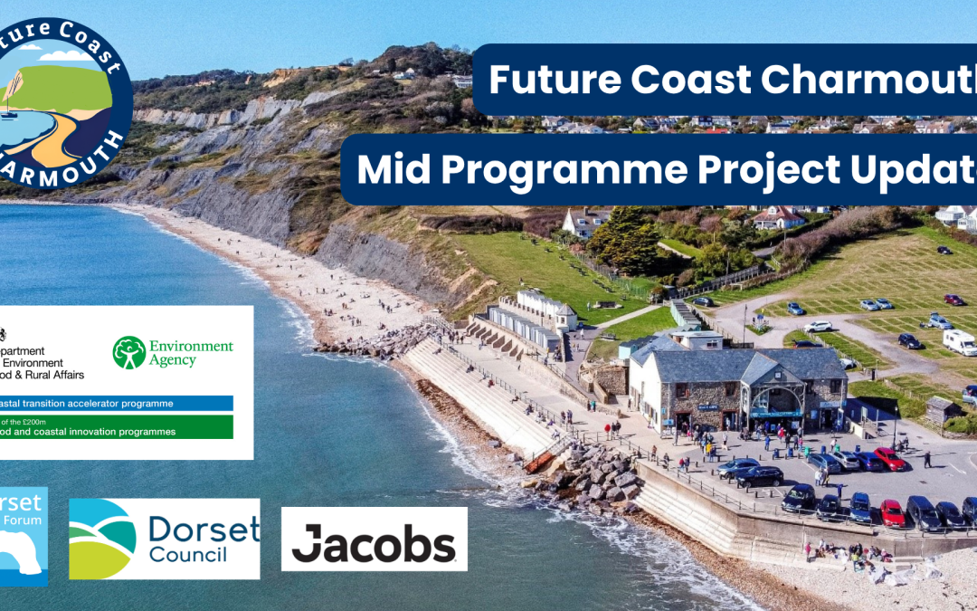
    Future Coast Charmouth

    Future Coast Charmouth

    Future Coast Charmouth – part of the Coastal transition accelerator programme

    Charmouth and North Swanage have been selected for funding through the Coastal Transition Accelerator Programme CTAP, supported by the Department for Environment, Food and Rural Affairs (DEFRA) and funded by the Environment Agency (EA)

    Project overview

    The Coastal Transition Accelerator Programme (CTAP) helps communities to plan for the long term, including through interventions such as improving and replacing damaged community infrastructure like beach access or coastal transport links, repurposing land in coastal erosion zones for different uses such as temporary car parks, and restoring and creating habitats to include green buffer zones.

    Why now and why do we need to do something different?

    England has some of the fastest eroding coastline in Europe. Coastal erosion is a natural, ongoing process that has been happening for thousands of years. But with sea levels continuing to rise into the next century, the rate of coastal erosion in some places will accelerate.

    For some coastal locations it will unfortunately no longer be technically or economically feasible to provide protection from flooding and coastal change.

    As the risks of erosion increase and accelerate with climate change, we need to explore now how local authorities can work with and support people living, working and using coastal areas that cannot sustainably be defended in the long term.

    The CTAP aims to:

        • Accelerate strategic planning (and associated action planning) to set out how the coastal local authorities, partners and communities will address the long-term transition of communities, businesses and assets away from the coastline at risk.
        • Support the trialling of early on the ground innovative actions in support of medium and long term plans, that enable those coastal areas at significant risk to address the challenges posed by a changing climate.

    The programme will run to March 2027, exploring and testing innovative opportunities. A full evaluation of the programme will help to inform future national policy direction and will add to the other coastal resilience activity managed by the Environment Agency, which includes a national coastal erosion risk map providing clearer data about local risks to help local planning.

    The Coastal Transition Accelerator Programme supports the Environment Agency’s FCERM Strategy, which provides a longer-term vision of how we will better protect and prepare homes and businesses from flooding and coastal change and create climate resilient places.

    Find out more by visiting the Charmouth CTAP project page  >> Future Coast Charmouth

    #CoastalConnection  #CoastalInnovation

    Who’s listening?

    Matthew Smith

    Matthew Smith

    Dorset Coast Forum Project Officer

    Find out more about Future Coast Charmouth

    Future Coast North Swanage

    Future Coast North Swanage

    Future Coast North Swanage – part of the Coastal transition accelerator programme   

    North Swanage and Charmouth have been selected for funding through the Coastal Transition Accelerator Programme CTAP, supported by the Department for Environment, Food and Rural Affairs (DEFRA) and funded by the Environment Agency (EA)

    Project overview

    The Coastal Transition Accelerator Programme (CTAP) helps communities to plan for the long term, including through interventions such as improving and replacing damaged community infrastructure like beach access or coastal transport links, repurposing land in coastal erosion zones for different uses such as temporary car parks, and restoring and creating habitats to include green buffer zones.

    Why now and why do we need to do something different?

    England has some of the fastest eroding coastline in Europe. Coastal erosion is a natural, ongoing process that has been happening for thousands of years. But with sea levels continuing to rise into the next century, the rate of coastal erosion in some places will accelerate.

    For some coastal locations it will unfortunately no longer be technically or economically feasible to provide protection from flooding and coastal change.

    As the risks of erosion increase and accelerate with climate change, we need to explore now how local authorities can work with and support people living, working and using coastal areas that cannot sustainably be defended in the long term.

    The CTAP aims to:

    • Accelerate strategic planning (and associated action planning) to set out how the coastal local authorities, partners and communities will address the long-term transition of communities, businesses and assets away from the coastline at risk.
    • Support the trialling of early on the ground innovative actions in support of medium and long term plans, that enable those coastal areas at significant risk to address the challenges posed by a changing climate.

    The programme will run to March 2027, exploring and testing innovative opportunities. A full evaluation of the programme will help to inform future national policy direction and will add to the other coastal resilience activity managed by the Environment Agency, which includes a national coastal erosion risk map providing clearer data about local risks to help local planning.

    The Coastal Transition Accelerator Programme supports the Environment Agency’s FCERM Strategy, which provides a longer-term vision of how we will better protect and prepare homes and businesses from flooding and coastal change and create climate resilient places.

    Find out more information about this project at  >> Future Coast North Swanage

    #CoastalConnection  #CoastalInnovation 

    Who’s listening?

    Elaine Snow

    Elaine Snow

    Dorset Coast Forum Project Officer

    Find out more about Future Coast North Swanage